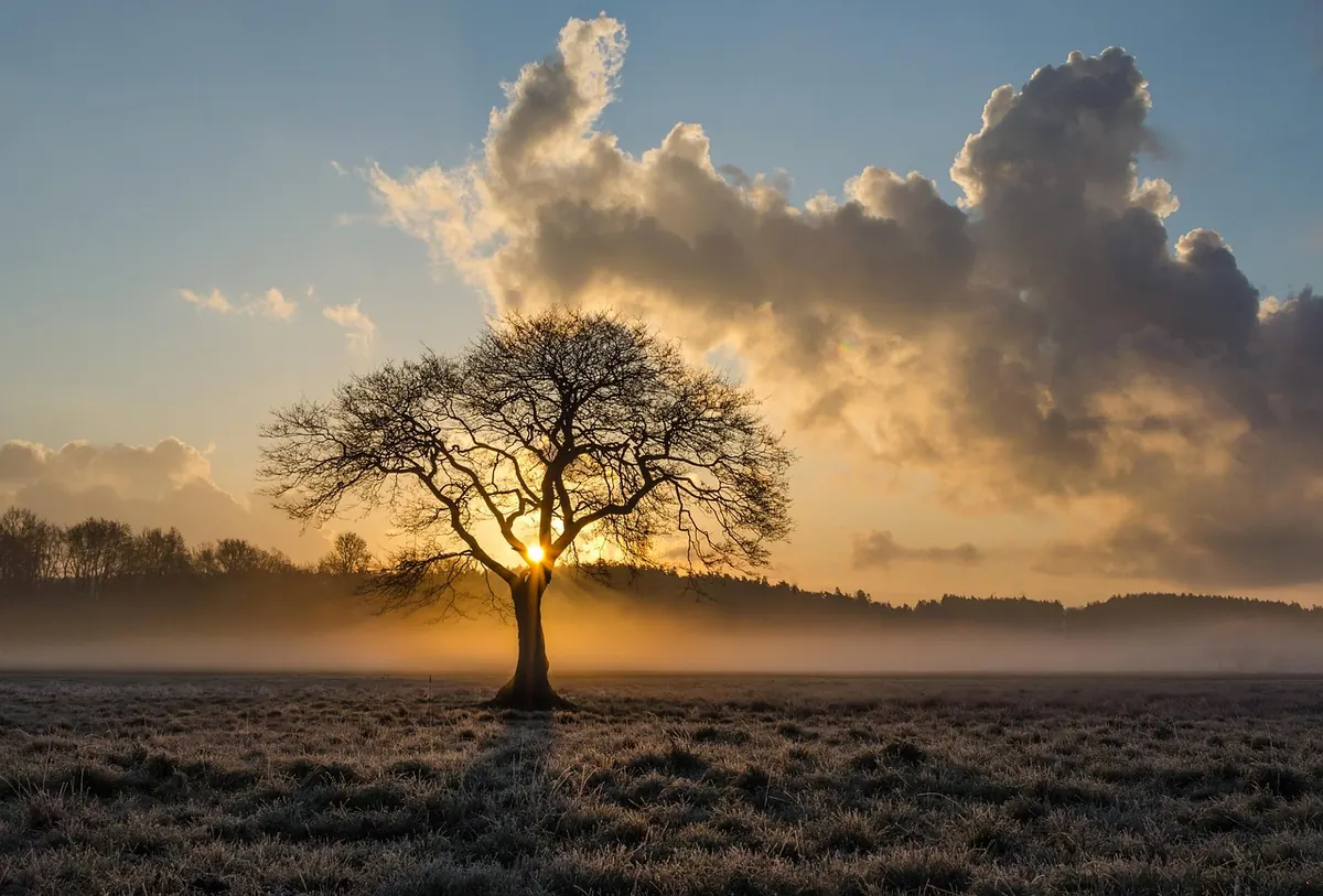
Why Valleys, Rivers and Coasts Fog First: A Local Fog Hotspot Guide
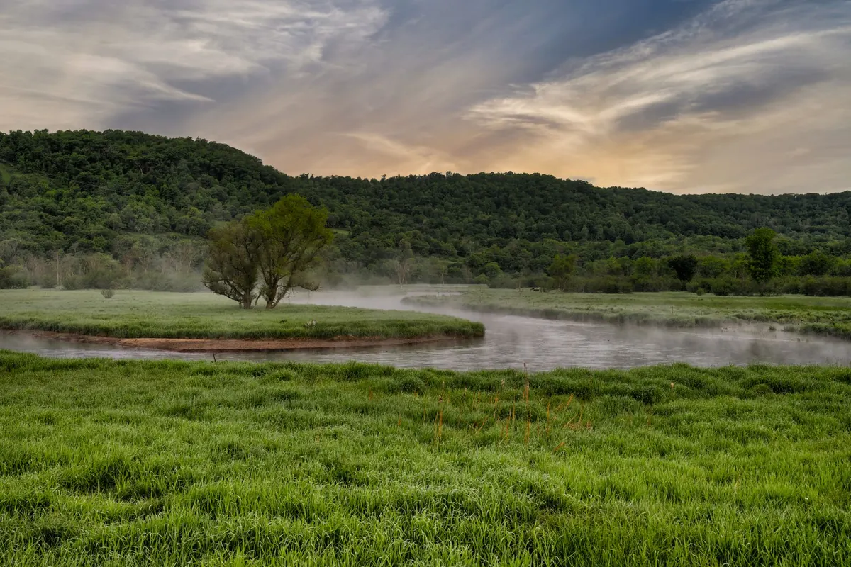
On a still October morning, the valley bottom can be white with fog while the hill above is bathed in sun. The river carries a ribbon of mist; the coast disappears under a grey lid. This is not random. Fog is a local phenomenon, and the landscape decides where it forms first and thickest.
How Fog Forms in the First Place
Fog is simply cloud at ground level. It forms when air cools to its dew point — the temperature at which water vapour condenses into tiny droplets — or when moisture is added until the air saturates. In the UK, two main routes dominate.
Radiation fog develops on clear, calm nights. The ground loses heat rapidly, chilling the air just above it. If that air reaches its dew point, fog forms. Advection fog happens when warm, moist air drifts over a colder surface, such as the North Sea or a snow-covered field, and cools from below.
Both processes are sensitive to terrain. Hills, rivers and coastlines change temperature, wind and moisture over short distances, which is why one village can be fogbound while another two miles away stays clear.
Cold Air Drainage: Why Valleys Fill Like Basins
On a calm night, air in contact with sloping ground cools. Cool air is denser, so it slides downhill — a process called cold air drainage, or katabatic flow. It collects in valley floors, hollows and basins, like water filling a bath.
This creates a temperature inversion: cold air sits beneath warmer air. The inversion traps moisture and any pollution near the ground. Fog then forms in the coldest, most sheltered parts of the valley, often before it appears anywhere else. The effect is strongest in deep, narrow valleys and frost hollows, such as those in the Pennines, the Welsh valleys, the Lake District and the Scottish glens.
If you live on a valley side, you may notice fog below you on the morning commute but clear skies overhead. The boundary can be sharp — a few metres of altitude make the difference between visibility and gloom.
Rivers and Canals: The Moisture Engine
Water adds vapour to the air. A river, canal or lake is a constant source of moisture, so the air above it needs less cooling to reach saturation. On autumn and winter nights, river water is often milder than the surrounding land. Cold air passing over the warmer water picks up vapour, and the mixture condenses into mist — sometimes called steam fog or river fog.
This is why mist often hangs over the Thames, the Severn, the Ouse, the Trent and the Norfolk Broads before it appears over nearby fields. The effect is strongest after a mild, damp day followed by a clear, cold night. Slow-moving water and shallow valleys are ideal: the air lingers, moisture accumulates, and there is little wind to mix it away.
Canals in built-up areas can be surprisingly foggy, too. The water adds moisture, while buildings and embankments shelter the air from the breeze.
Coasts and Estuaries: The Haar and Sea Fog
Coastal fog often arrives from the sea. When warm, moist air moves over a cold sea surface, it cools to its dew point and forms sea fog. On the east coast of Scotland and England, this is known as haar. It can roll inland on an onshore breeze, turning a bright morning into a grey, damp day within an hour.
Sea temperatures change slowly. In late spring and early summer, the sea can still be cold while the land is warming. Warm air from the south or east then passes over the chilly North Sea, producing thick, persistent fog. The same process affects the Irish Sea and the English Channel, though local winds decide how far inland it reaches.
Estuaries are doubly prone. They combine a large water surface with shelter from the wind and, often, low-lying land that cools quickly at night. The Humber, the Forth, the Mersey and the Severn estuary can all see fog form earlier and clear later than surrounding higher ground.
Local Ingredients That Turn a Damp Patch into a Fog Hotspot
Not every valley or riverbank fogs every night. Several factors need to line up:
- Clear skies: allow the ground to cool quickly after sunset.
- Light winds: enough to mix the lowest layer gently, but not enough to stir the inversion away.
- Moist ground: recent rain, rivers, lakes and wet fields all raise humidity.
- Shelter: hills, trees and buildings reduce wind, letting cold air pool.
- Long nights: autumn and winter give more time for cooling.
- Snow cover: a cold surface can chill the air above it and encourage fog to form.
- Temperature inversion: traps the cold, damp air near the ground.
The most fog-prone spots tick several boxes: a shallow valley with a river, sheltered from the prevailing wind, on a clear night after rain.
Reading Your Own Local Forecast
You do not need a weather station to spot a fog risk. Use the forecast and your senses.
- Check the air temperature and dew point. If the gap is small — say 2°C or less — and the night is forecast to be clear and calm, fog is likely.
- Look at the wind. A light breeze may be enough to trigger fog in a damp valley, but strong winds usually keep it away.
- Note recent rain. Wet ground and full rivers add moisture.
- Watch the time. Radiation fog usually forms in the early hours and thickens around dawn. Sea fog can arrive at any time and linger all day.
- Find your local high ground. If you can climb a few hundred feet above the valley, you may emerge into sunshine above the inversion.
A simple log of foggy mornings — date, wind, rain, temperature — will soon show which local conditions matter most where you live.
Practical Tips for Foggy Mornings
If fog is forecast, allow extra time. Drivers should use dipped headlights and switch on fog lights when visibility is seriously reduced, slow down and leave a larger gap. Avoid following tail lights too closely; they can create a false sense of distance.
Cyclists and walkers should wear something reflective or bright. If you are walking in a valley, remember that the fog may be thinner just a short climb away. Photographers often head uphill to capture the inversion from above. And if you have a respiratory condition, take your usual precautions in cold, damp air, and seek medical advice if symptoms worsen.
Fog is not a uniform blanket. It is a local story written by the shape of the land, the wetness of the ground and the movement of air. Learn your own patch, and you can often predict the mist before it arrives.
Photo: Tom Fisk / Pexels