UK Fog Season: A Month-by-Month Guide to Misty Conditions

There is a particular kind of British morning — still, grey, sound flattened, the far side of the field simply gone — that arrives with a season of its own. Fog in the UK is not spread evenly through the year. It has a beginning, a peak and a long tail, and it behaves differently depending on the month you meet it.
What follows is a month-by-month guide to when and where mist and fog are most likely, from the first valley mists of September to the North Sea haar that can still be sitting over an Aberdeenshire beach in June.
Why the UK gets so much fog
Most inland fog in Britain is radiation fog, and the recipe is simple: clear skies, light winds, a long night and damp ground. Under a clear sky the ground loses heat after sunset, cooling the air just above it. Too much wind mixes the air and prevents the fog forming at all; no wind gives you only a shallow layer. Somewhere in between lies a deep, slow-moving fog.
Autumn supplies whatever is missing. Soils still hold moisture, nights lengthen quickly, and high pressure brings the clear, calm conditions that start the process — which is why settled spells in October and November so often turn grey rather than bright. Forecasters call it fog once visibility drops below roughly 1,000 metres; above that it is mist. Either way it stays stubbornly local: a road can be clear for five miles and then vanish for one.
September and October: the first autumn mists
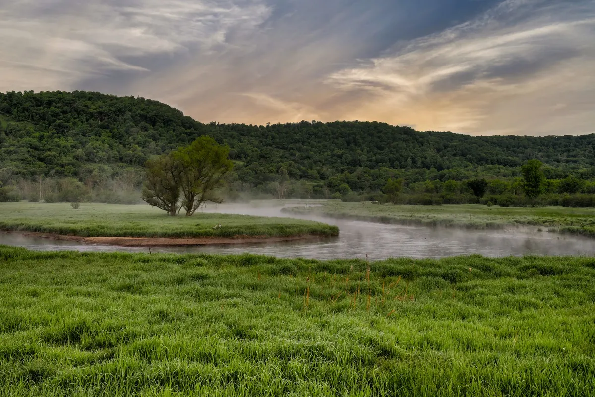
The first mists of the season appear over water and wet ground — rivers, canals, lakes and the low meadows beside them. Cold air drains downhill overnight and pools in the lowest ground, so a valley or floodplain fogs up while the slope above it stays clear.
These early mists are shallow and short-lived, forming in the small hours and burning off by mid-morning. That makes them the friendliest fog of the year. Look for them first in the Welsh valleys, the Pennine dales, the Scottish glens, low-lying parts of the Midlands and the fens of East Anglia and Lincolnshire — places that will repeat the trick all season.
November and December: the heart of the season
By November, nights are long enough for the ground to cool for fourteen hours or more, and the sun is too weak to shift a deep layer of fog. This is when fog stops being a dawn curiosity and starts rearranging the day. Two patterns dominate:
- Classic radiation fog — forms after dark, thickest around dawn, may lift into low cloud by lunchtime and return the following night.
- Persistent fog under high pressure — sometimes called anticyclonic gloom. The fog barely lifts, the day stays flat and grey, and the pattern repeats for days.
The usual locations are river valleys and low ground: the Thames, Severn, Trent and Ouse floodplains, the Midlands, the fens and the clay lowlands of the south-east. Airports suffer disproportionately, because this kind of fog is patchy and shallow — a few hundred metres of visibility at the wrong moment can disrupt an otherwise ordinary morning.
If you live somewhere elevated, you may see almost none of it. Cold air drains away from you and gathers below, so a short drive downhill can take you from sunshine into fog in two miles.
January and February: freezing fog and cold pools
The coldest fog of the year forms when the temperature is below zero. The droplets stay liquid well below 0°C — supercooled — and freeze on contact with cold surfaces, leaving rime on trees, fences and cars and a quiet glaze on untreated roads and pavements.
Clear, calm nights draw the densest air into hollows, creating frost hollows that hold their fog long after the surrounding countryside clears. In a settled spell, some low-lying spots stay grey for days while the hills above sit in bright, cold sunshine; a westerly wind, or even a modest breeze, disperses it quickly. Fog also traps pollution near the ground, so still, cold mornings in towns can feel dirtier than the temperature alone suggests. If you have a lung or heart condition, follow the advice you have been given by your clinician about exercising outdoors in these conditions.
March and April: haar on the east coast
Spring swaps the mechanism. Rather than the ground cooling the air, a cold sea cools it from below. The North Sea is at its coldest relative to the land in late spring, because water warms far more slowly than soil. When mild, moist air crosses that cold water, it chills to saturation and becomes sea fog — haar, to use the Scots word.
Watch the east coast: Aberdeenshire, Angus, Fife, East Lothian, Northumberland, County Durham and the Yorkshire coast. Haar often arrives on an onshore breeze as a soft grey wall, sometimes pushing miles inland and sometimes sitting a mile offshore, leaving the beach cool and clammy while ten miles inland is warm and sunny. It can bring drizzle and a temperature drop of several degrees in minutes. Cold, clear spring nights still produce radiation fog inland, so April can deliver both kinds.
May to August: summer sea fret and valley mist
In summer the sea fret is mostly an east-coast affair, cooling beaches from Kent up to Aberdeenshire whenever the wind turns onshore — which is why a June afternoon in Northumberland can be ten degrees cooler than the same afternoon in Northamptonshire. Inland, warm humid days leave enough moisture in the air for shallow valley mist at dawn, thickest in the hour around sunrise and gone soon after.
Planning around the fog season
Fog is predictable in its habits and unpredictable in its detail, so plan for the pattern rather than the fine print of the forecast:
- Time your travel. In autumn, fog is usually thickest at dawn and gone by mid-morning; in midwinter it may not lift at all.
- Check before you leave. Hourly forecasts and traffic or airport webcams tell you more than a daily summary, because fog is patchy.
- Drive to the conditions. Slow down, leave a bigger gap and use dipped headlights. Fog lights are for seriously reduced visibility — broadly, when you cannot see more than about 100 metres — and should go off as soon as it improves, since they dazzle other drivers.
- Be visible on foot and on a bike, with reflective clothing and working lights.
- Allow extra time if you are flying. Early departures from the south-east and the Midlands are the most exposed in November and December.
- Take care on cold, still mornings if you have a respiratory or heart condition, following the advice you have been given by your clinician.
Know which month you are in, and whether you live in a valley, a fen or a coastal town, and the grey mornings stop being a surprise.
Photo: mbll / Pixabay