Radiation Fog Explained: Why Clear, Calm Nights Create Morning Murk
Few forecasts are as satisfying to call as fog. Clear skies, a breeze so light it barely stirs the leaves, and a cold, long night: by dawn the fields are white and the first drivers are creeping along with headlights on. Radiation fog is the most common fog in Britain, and once you understand what drives it you can often predict it hours in advance from a thermometer, a dew point reading and a glance at the sky.
The Chilly Engine: Radiative Cooling
Everything radiates. During the day the ground absorbs solar energy; after sunset it starts losing heat as longwave infrared radiation, which escapes straight to space. If the sky is clear, very little of that energy comes back, and the surface cools steadily through the evening.
The ground cools first, then drags the air above it down with it. The lowest few metres lose heat by contact with the cold surface, and gentle turbulence carries that chill a little higher. Surfaces behave differently: grass, bare soil and tarmac radiate efficiently and chill quickly, while wet ground or a sheltered urban surface may hold its heat longer.
Cloud is the great spoiler. Even a thin sheet of stratocumulus acts like a duvet, radiating heat back down and keeping surface temperatures up. High cloud is less effective, but if it thickens after midnight it will often stop a fog forming at all.
Calm, Not Still: The Role of the Inversion
Wind is the second ingredient, and the trickiest. Too much of it and the fog never gets going: turbulent mixing drags warmer air down from above and stirs the cold surface layer into a deep, unsaturated mixture. Dead calm creates the opposite problem — with no mixing at all, only the first few centimetres of air saturate, so you get heavy dew or a shallow patch of mist rather than a proper fog.
The sweet spot is a light breeze, roughly one to two on the Beaufort scale. That is enough to spread the cooling through the lowest few metres, but not enough to break the inversion. In an inversion, temperature rises with height instead of falling. Cold, dense air pools at the surface while warmer air sits on top like a lid, trapping moisture — and any smoke or pollution — beneath it.
Condensation: From Dew to Mist to Fog
As air cools, its relative humidity climbs. When it reaches saturation, water vapour condenses onto condensation nuclei: tiny particles of dust, sea salt, pollen and combustion products that are always present in the air. Water that condenses on surfaces already cooler than the air becomes dew. Water that condenses within the air itself becomes droplets, and enough droplets become fog.
The formal line is visibility. Fog is generally defined as visibility below 1,000 metres (1 km); mist sits between 1 and 2 km. If the temperature is at or below freezing when it forms, you get freezing fog, which deposits rime on trees, fences and road signs.
A typical night runs something like this:
- After sunset: rapid surface cooling, dew starting to form on cars and grass.
- Late evening: shallow mist appearing in hollows and over wet fields.
- Early hours: the layer deepens and thickens into proper fog.
- Around sunrise: fog at its most extensive, often just before the sun lifts above the horizon.
Why Valleys, Rivers and Damp Ground Fog First
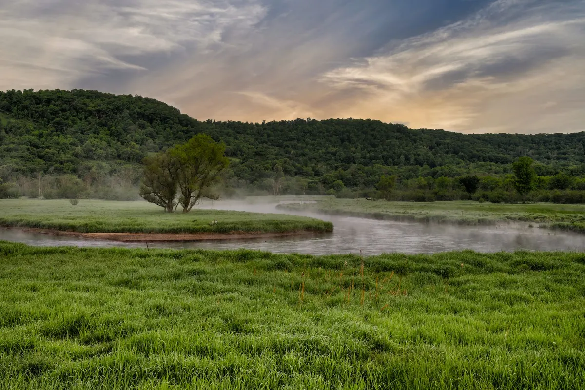
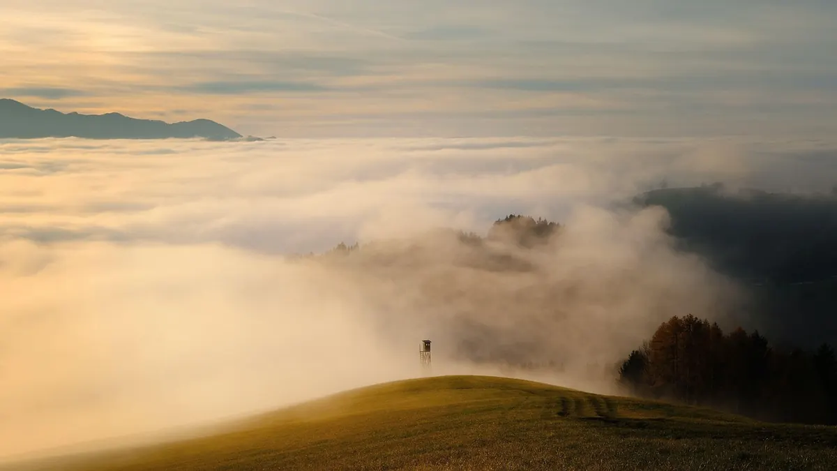
Radiation fog is a local phenomenon, so local geography matters. Cold air is dense, and on a still night it drains downhill, collecting in valley bottoms, floodplains and hollows. That is why a hilltop can be clear and sunny while the valley below sits under fog until late morning.
Moisture helps too. Recent rain, wet ground, a river, a canal or a large lake all add water vapour to the lowest layer of air, so it needs less cooling to reach saturation. Air that is already humid fogs far more readily than dry polar air, which tends to give sharp frost and clear skies instead.
Season matters as well. British radiation fog peaks in autumn and winter, when nights are long, the sun is weak and soils are often still damp. City centres are usually the last place to fog, thanks to the urban heat island and the warmth stored in buildings and roads.
A Prediction Checklist
You do not need a supercomputer to make a decent call. Work through these in order, and if most of them line up, expect fog:
- Dew point spread. Compare the forecast overnight minimum with the dew point. If they come within a degree or two, saturation is likely.
- Sky. Clear or nearly clear. Watch for cloud arriving in the small hours.
- Wind. Light, ideally a gentle drift rather than a strong breeze or a dead calm.
- Moisture. Damp ground, recent rain, a nearby river or a humid airmass.
- Topography. Low-lying ground, valleys and floodplains fog first and hardest.
- Neighbouring reports. If fog is already forming a few miles upwind, it may spread to you.
How It Lifts — and When It Doesn't
Radiation fog usually dies the way it was born. Sunrise warms the ground, the inversion weakens, and mixing starts. The fog lifts into a shallow layer of low cloud, which then breaks up. In autumn that might happen by mid-morning. In a December anticyclone the sun may be too weak to do the job, and the fog will sit there all day, thinning in the afternoon before returning in the evening. Runs of consecutive foggy days are common under a slow-moving area of high pressure.
Expect patchiness, too. Visibility can vary from a mile or more to a few tens of metres over a short distance, particularly at dawn. Slow down, use dipped headlights, and leave a bigger gap than usual.
Making the Call on Your Own Patch
The most useful thing you can do is keep a simple log. Note the temperature, dew point, wind and cloud cover at bedtime, then write down what the morning delivered. After a season you will start to recognise the setup instinctively.
A basic weather station is enough, but a cheap thermometer on a fence post, clear of walls and overhanging trees, gives a good local reading. Add a grass minimum reading if you can — grass can be several degrees colder than the air above it, and it fogs first.
Radiation fog rewards local knowledge more than most weather does. Forecasts will tell you the broad pattern; your own observations tell you whether your valley, your field or your road will be the one under the murk at seven in the morning.
Photo: shogun / Pixabay