Advection Fog: How Warm Air Over Cold Sea Brings Coastal Gloom
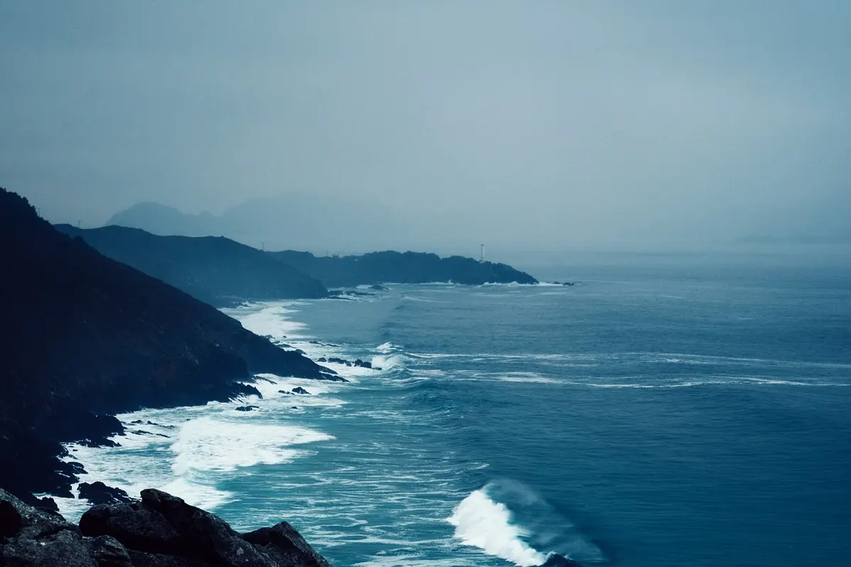
In late May, a mild southerly drift can reach Aberdeen while the North Sea is still cold enough to make you gasp. The air may have crossed France, Spain or the Atlantic, carrying plenty of moisture. Yet the Aberdeenshire coast disappears under a grey lid that refuses to lift. That fog was not born locally. It formed when warm, damp air travelled over a cold sea and was chilled from below. This is advection fog, and around the British Isles it is one of the most stubborn forms of coastal gloom.
What advection fog actually is
Advection means horizontal movement. In weather terms, it describes air being carried from one place to another. That air arrives with its own temperature and moisture content. If it then passes over a colder surface, the lowest layers lose heat to that surface. The air cools. If it cools to its dew point, the water vapour in it condenses into tiny droplets. Those droplets hang in the air as fog.
It is not the same as the fog that forms on a still autumn night in a river valley. Advection fog needs movement. It also needs a temperature contrast between the air and the surface beneath it. Around the UK, that surface is usually the sea. The fog can form over open water, then drift inland on an onshore breeze, swallowing harbours, headlands and coastal roads.
Why a cold sea is the engine
The sea warms and cools far more slowly than the land. UK waters are at their coldest in late winter and early spring, and they stay chilly well into early summer. Meanwhile, air masses arriving from the south or south-west can already be warm and humid. When that air flows over the sea, the water acts like a giant cold plate. Heat is drawn out of the air, its temperature falls towards the sea surface temperature, and condensation begins.
The process is most efficient when the sea surface is colder than the dew point of the arriving air. In that situation, the air does not merely approach saturation; it is pushed past it. A light to moderate breeze helps, because it stirs the cooled air and spreads the fog through a deeper layer. If the wind is too strong, the fog may lift into low cloud. If the air is too dry, or the sea too warm, you get haze or low cloud instead.
The UK’s favourite fog setups
Advection fog around Britain tends to appear in a few recognisable patterns. They are worth learning if you live near the coast or sail, walk or drive there often.
- North Sea haar: warm, moist air arrives from the south or south-east over a cold North Sea. It affects eastern Scotland and north-east England, sometimes pushing several kilometres inland.
- Irish Sea gloom: south-westerly air crosses cool Irish Sea water, bringing fog banks to Anglesey, the Lancashire coast, Cumbria and south-west Scotland.
- Channel fret: warm air from the south or south-west meets the cooler English Channel, producing fog patches along the coasts of Devon, Dorset, Sussex and Kent.
- Sea fog rolling inland: fog that forms offshore can be carried ashore by an onshore breeze, especially where the coast is low and exposed.
Haar, fret and sea fog
You will hear different names around the UK. Haar is common on the east coast of Scotland and north-east England. Fret or sea fret is used in the same region for fog that comes in off the sea. Sea fog is the general term for fog that forms over water. The names change with the coastline, but the mechanism is the same: warm, moist air, a cold sea, and a breeze to carry the result ashore.
Sea fog versus radiation fog
These two are often confused because both produce grey, damp conditions. Their causes, timing and behaviour are quite different.
- Radiation fog forms over land on clear, calm nights, especially in autumn and winter. The ground cools by radiation, the air above it cools, and fog settles in valleys and hollows. It often clears by late morning as the sun warms the ground.
- Advection fog forms when air moves over a colder surface. It can appear by day or night, over sea or land, and it may last for days if the flow continues. A weak sun often cannot burn it off because the cold surface keeps cooling the air.
- Both together can occur on the coast, where sea fog drifts inland and then deepens overnight under clear skies.
Reading the signs before you go
You do not need a weather station to spot a likely advection fog episode. A few simple checks will sharpen your expectations.
- Check the dew point. If the air temperature and dew point are close together, the air is nearly saturated. If the sea surface temperature is lower than that dew point, fog is likely over the water.
- Look at the wind direction. A southerly or south-westerly flow in spring or early summer is a classic setup for coastal fog around the UK.
- Find the sea temperature. Sea surface temperature charts show where the water is coldest. A cold patch close to a warm, moist airflow is a fog factory.
- Read the inshore waters forecast. Forecasters use terms such as fog patches, sea fog and visibility poor or very poor. Take them seriously.
- Watch the coast. A line of fog offshore, a damp chill in the air, or a sudden drop in visibility as the wind turns onshore are all useful clues.
What it means on the ground and on the water
Advection fog can reduce visibility below 1,000 metres, which is the threshold for calling it fog rather than mist. On the coast, that means headlands vanish, harbour walls become hard to pick out, and familiar paths feel different within minutes. Roads can be clear inland and thick with fog at the coast, especially where the breeze pushes sea fog inland through gaps in the hills.
For drivers, the usual rules apply: slow down, use dipped headlights, and switch on fog lights only when visibility is seriously reduced. Do not follow tail lights too closely. For sailors and kayakers, sea fog is a serious matter. It can hide other vessels, buoys and harbour entrances. Check the inshore forecast, carry the right navigation equipment, and be ready to slow down or wait. If you are unsure, asking local harbour staff or the coastguard for the latest conditions is sensible.
Living with coastal gloom: practical habits
Advection fog is not a reason to stay indoors, but it rewards a little preparation. Before a coastal walk, check the visibility forecast and take a map and compass rather than relying on landmarks. Fog can make a known route feel unfamiliar, and the damp air makes the temperature feel lower than the forecast suggests. Wear a windproof layer and accept that the view may be measured in metres rather than miles.
If you are driving, allow extra time and keep your distance. Fog patches can be localised: one stretch of coast may be clear while the next bay is thick. On the water, treat fog as a navigation hazard and a sign to reduce speed, make your position known and listen for fog signals. Anglers, photographers and birdwatchers can use it too. Sea fog softens sound, hides the horizon and turns ordinary coastal scenes into something quieter and stranger. Check the forecast, respect the visibility, and the gloom becomes less of a nuisance and more of a feature of the British coast.
Photo: StockSnap / Pixabay